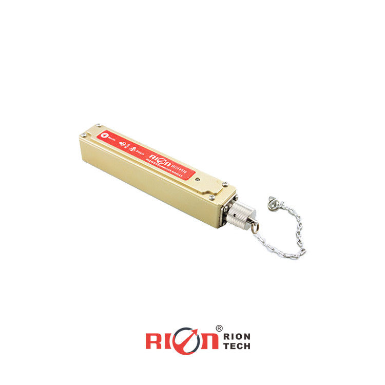
Product Description:
The HCM508B is a high-precision 3D compass developed by Rion Technology Co., Ltd. It features both digital RS232 output and analog 4~20mA output, along with an IP67 waterproof rating, making it ideal for drilling measurements. With hard and soft iron calibration algorithms, it ensures accurate heading information even on tools with a 360° roll angle. Its compact size and low power consumption make it perfect for miniaturized sensitive measurement systems.
Equipped with advanced three-axis magnetic sensing and real-time heading calculation via a central processing unit, the HCM508B also integrates a three-axis accelerometer to compensate for a wide range of tilt angles. This combination of high performance and stability makes it suitable for diverse applications such as antenna stability, vehicle systems, and overall system integration.
Features:
- Heading accuracy: 0.3°~0.5°
- Roll angle measuring range :±180°
- Tilt angle resolution: 0.1°
- Tilt angle accuracy: 0.2°
- Wide Temperature : -40℃~+85℃
- Standard RS232/RS485/TTL output interface
- Analog 4-20mA output
- With hard magnetic ,soft magnetic and angle compensation
Technical Parameters:
| HCA508B |
|
PARAMETER |
| Compass heading parameter |
The best heading accuracy |
0.3° |
| Resolution |
0.1° |
| Compass tilt parameter |
Pitch accuracy |
0.1°<15°(Measure range) |
| 0.1°<30°(Measure range) |
| 0.1°<60°(Measure range) |
| 0.2°<85°(Measure range) |
| Pitch tilt range |
±85° |
| Roll accuracy |
0.1°<15°(Measure range) |
| 0.1°<30°(Measure range) |
| 0.1°<60°(Measure range) |
| 0.2°<180°(Measure range) |
| Roll tilt range |
±180° |
| Resolution |
0.1° |
| Calibration |
Hard iron calibration |
Yes |
| Soft iron calibration |
Yes |
| Magnetic field interference calibration method |
24 points(3D calibration) |
| Physical features |
Dimension |
L125*W22*H24mm |
| Weight |
90g |
| RS232/RS485/TTL interface connector |
5PIN connector |
| Interface features |
Start delay |
<50MS |
| Maximum output rate |
20Hz/s |
| Communication rate |
2400 to19200baud |
| Output format |
Binary high performance protocol |
| Analog output |
4-20mA FS(0-360deg) |
Only for heading 4-20mA output |
| Power |
Power supply |
Default DC 12 V; 18~36v optional |
| Current(Maximum) |
40mA |
| Ideal mode |
28mA |
| Sleep Mode |
TBD |
| Enviroment |
Operating range |
-40℃~+85℃ |
| Storage temperature |
-40℃~+85℃ |
| Resistance shock performance |
2500g |
| Electromagnetic compatibility |
According to EN61000 and GBT17626 |
| MTBF |
≥98000 hours/times |
| Insulation resistance |
≥100M |
| Shock resistance |
100g@11ms,3 Axial Direction (Half Sinusoid) |
| Anti-vibration |
10grms,10~1000Hz
|
Applications:
★ Satellite antenna satellite tracking
★ Marine navigation and surveying
★ GPS-based integrated navigation
★ Antenna positioning control
★ Infrared camera
★ Laser distance meter
★ Chart plotter navigation
★ ROV underwater robot guidance
★ Oceanographic measurement devices


 Your message must be between 20-3,000 characters!
 english
 français
 Deutsch
 Italiano
 Русский
 Español
 português
 Nederlandse
 ελληνικά
 日本語
日本語
 한국
한국